


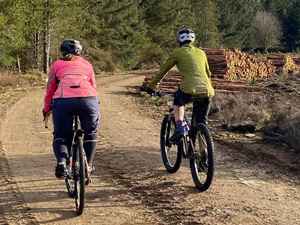
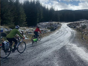
Bike & Walking Trails
Midge; Level 3 Located behind The Bunkhouse.
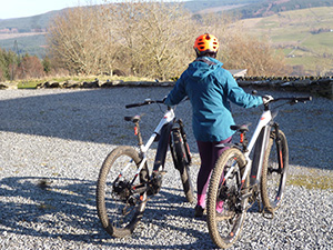
To access this trail you need to follow the wide grass cut path on the right hand side of the wooded area behind The Bunkhouse, this takes you up to the bench you can see in the picture one on left below. The trail starts flowing on its way down the open meadow, then it enters the wooded section of the trail as shown in the centre picture below. The trail continues to wind its way through the trees and ends with the last slightly banked corner as pictured in final picture on the right below, this exits the wood and then finishes the trail at the point at which you started to head up to the top.
MIDGE TRAIL; 370 meters long with 25 meters of descent, pictured above.
Core Path Track; (Level 2 - GREEN - easy) Runs east to west through centre of farm and is around 950 meters in distance, before going into FLS tracks.
Expect - relatively flat, wide and smooth trails with gentle climbs / descents. Rollers and berms with easy to avoid features such as rocks and potholes. The surface may be loose, uneven or muddy in places.
Site trail grade guide.
Level 1 - Ideal for real biking novices and walkers.
Surface: Mostly wider paths and hazards. There may be loose gravel or mud.
Example: Quiet roads, forest tracks and purpose built multi-use paths / flat wide open surfaced area with no hazards.
Level 2 - Ideal for people with basic bike handling skills and walkers.
Surface: Relatively flat and wide paths and trails. The surface may be loose, uneven or muddy at times. May include short flowing single track style sections. Trails comprising mostly compacted gravel or solid earth with some flat roots and smaller rocks.
Trail
Hazards: Small loose rocks and flat roots. There may be ruts on grassy
paths.
Example: Fire roads, grassy paths, rough double or single track.
Level 3 - Purpose built trails to help improve bike handling abilities; suitable for intermediate
cyclists or mountain bikers with basic off-road riding skills.
Surface:
Compacted surface which is likely to be a bit rough and loose. Include some specially constructed single
track and small obstacles.
Trail Hazards: Flowy turns, berms (banked corners), roll-able
small table tops / obstacles like roots and rocks.
Circular routes starting at either The Bunkhouse or from route car parks; Gravel / Mountain Biking / Walking Loops
Glassie 4.5km Route
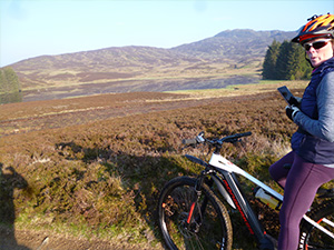
A pleasant, short-distance route around Glassie Farm with stunning views across Aberfeldy
Download Route Map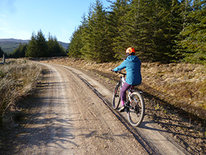
The Glassie Loop 17km Route
Download Route Map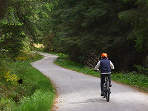
The Bunkhouse Loop 19km Route
Download Route Map
Bunkhouse to Farleyer Loop
Download Route Map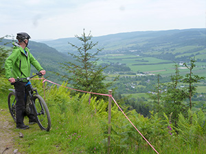
Bunkhouse to Dull Loop
Download Route Map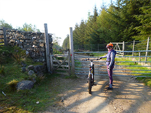
Weem Hill Cycling Loops
Download Route Map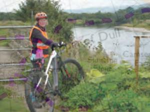
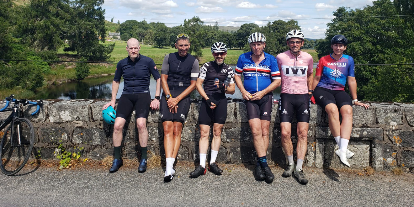
Road Routes
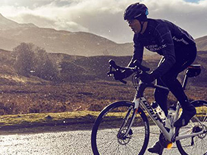
Etape Caledonia Route
The Cancer Research UK Etape Caledonia returns to the idyllic village of Pitlochry on Sunday 10 May 2026.
Choose from 40, 55 or 85 miles of unforgettable riding on fully closed roads. You’ll wind through tree-lined avenues, past shimmering lochs and cheering spectators, with the sound of bagpipes echoing through the hills. Take on the mighty Schiehallion if you're up for a challenge, and refuel at our well-stocked feed stations along the way.
Download Route Map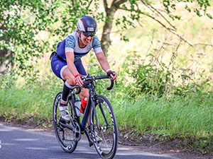
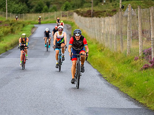
Aberfeldy Middle Distance Triathlon
Sunday 16th August 2026 @ 6:45am
Location: Kenmore Recreation Ground
Set in the beautiful Highland Perthshire region, this great Middle Distance race (1900m Swim, 90km
Bike, 21km Run) takes in the cool, clear waters of Loch Tay, challenging roads over the shoulder of
Schiehallion, a circumnavigation of the wild Loch Rannoch.
1900m Swim in the spectacular Loch
Tay.
90km Road Cycle on quiet (and challenging!) roads of Highland Perthshire.
21km Run on quiet
roads.
Aberfeldy Aqua Bike
Sunday 16th August 2026 @ 6:45am
Location: Kenmore Recreation Ground
Set in the beautiful Highland Perthshire region, this great Middle Distance race (1900m Swim & 90km
Bike) takes in the cool, clear waters of Loch Tay, challenging roads over the shoulder of Schiehallion,
a circumnavigation of the wild Loch Rannoch.
1900m Swim in the spectacular Loch Tay.
90km Road
Cycle on quiet (and challenging!) roads of Highland Perthshire.